With high-precision GNSS receiver.

01
Ruggtek & Leica
Part of the Hexagon AB group, Leica Geosystems is renowned for revolutionising the world of surveying, moving from classical optical instruments to state-of-the-art laser and digital technologies.
Today, Leica is the market leader and reference point for professionals working in the fields of geomatics, civil engineering, construction and security.
In 2025, a collaboration between Ruggtek and Leica Geosystems Italia was born out of the need to combine excellence in satellite reception with maximum robustness in field control devices.

02
The Leica by Ruggtek System
The collaboration between Ruggtek and Leica represents a strategic union between Italian-designed “rugged” hardware and Swiss precision technology. This synergy makes it possible to offer complete packages where the reliability of the controller (tablet) is equal to that of the GNSS sensor.
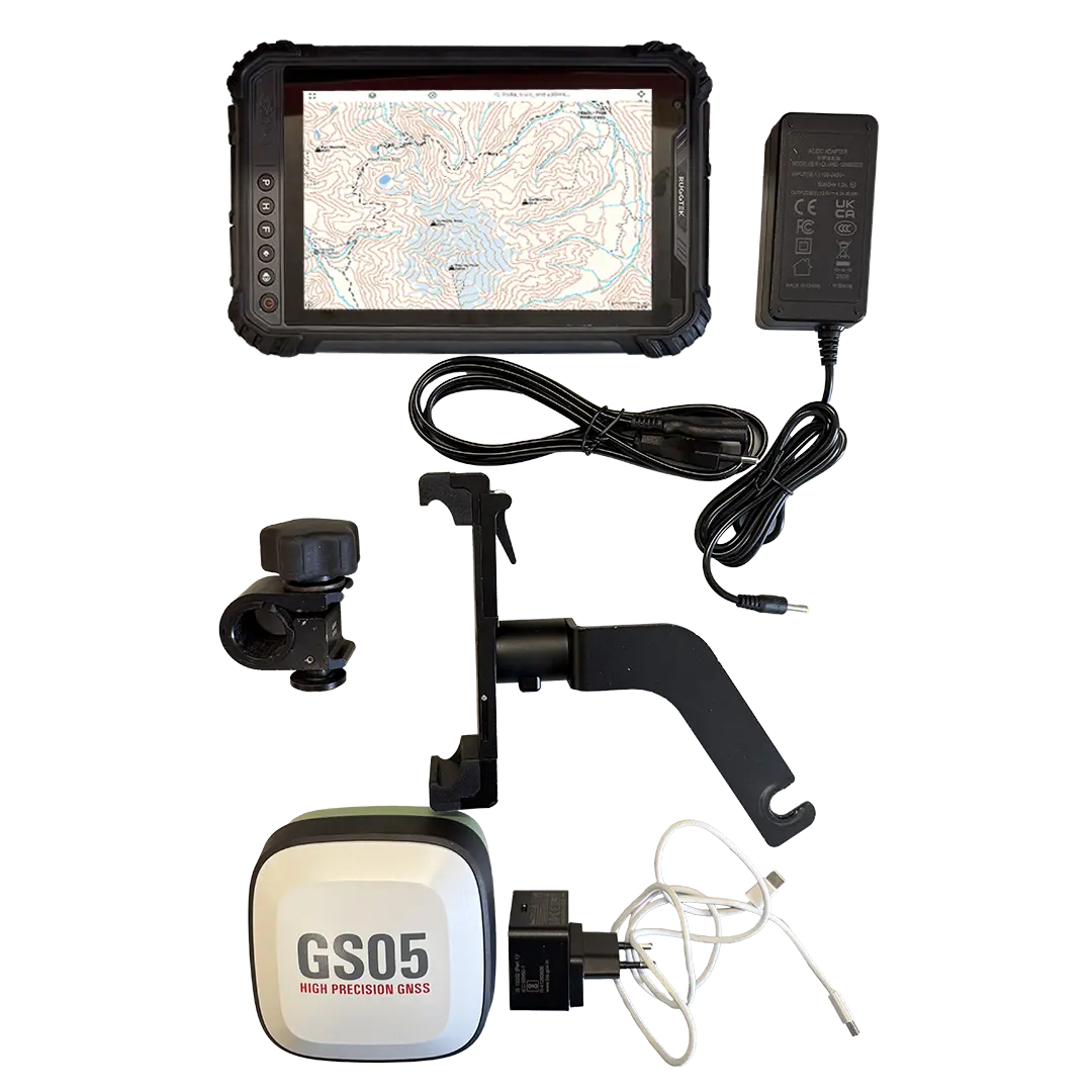
Specifically, the system consists of the new, ultra-light Leica GS05 Smart Antenna with tilt compensation, and Ruggtek's RT409 field controller, which hosts the survey software and communicates with the Leica antenna to display and record data in real time; and finally the pole, in carbon or aluminium, which acts as a structural support.
03
Application Sectors
This specific combination is suitable for cadastral surveys where the GS05's speed of use reduces stationary time, utilities and sub-services for mapping water or electricity networks with centimetre accuracy, civil engineering and land monitoring, allowing it to operate even in conditions where data connection is poor thanks to RTK and PPP technology.
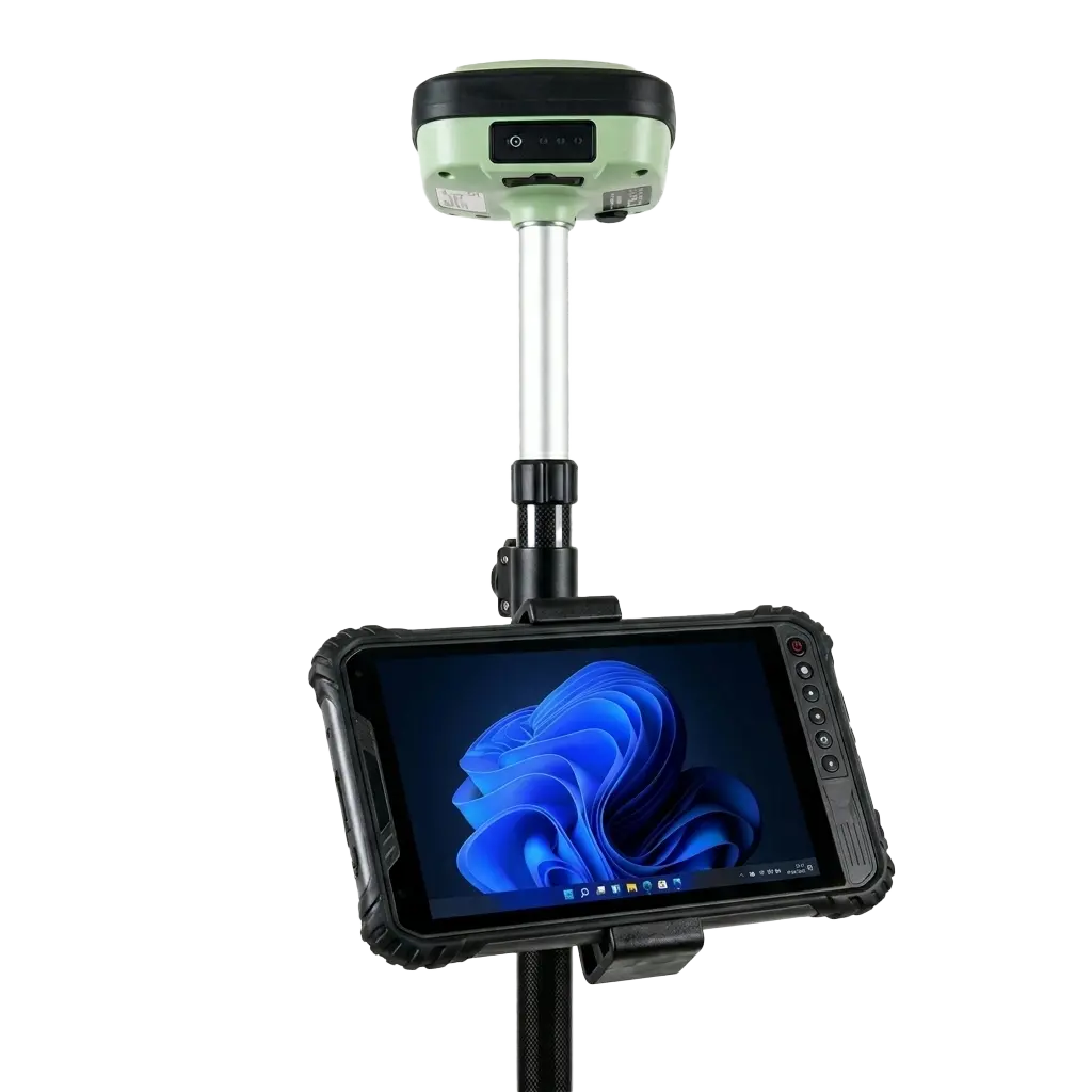
The professional mounts the Ruggtek tablet on the pole via a special holder and places the GS05 on top. Via Bluetooth or cable, the tablet receives the differential corrections from the antenna, enabling quick and smooth measurement of precise points even if the pole is not perfectly level.
04
Do you want to improve performance?
For multifunctional use, where more computing is required, so as to load heavy DXF/DWG models or BIM files to be staked out directly in the field, process complex lidar data streams, Ruggtek offers field controllers with 10-13 inch screens and Core i5/i7 processors.